

Malawi is hosting a regional training programme in Lilongwe aimed at strengthening capacity in broadband mapping and geospatial data management across Africa.
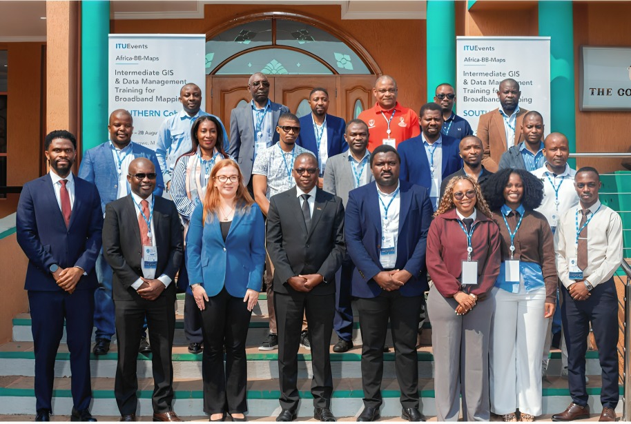
The five-day Africa-BB-Maps Intermediate GIS and Data Management for Broadband Mapping Training has been organised by the International Telecommunication Union (ITU) with support from the European Union and is being delivered by Esri South Africa College.
The programme brings together practitioners from Malawi, Zimbabwe, Botswana and Zambia to strengthen their ability to build, manage and maintain enterprise Geographic Information System (GIS) environments for national broadband mapping.
Building on foundational GIS skills, participants are receiving hands-on training in enterprise GIS architecture, multiuser geodatabases, data governance and access control, advanced editing and data integrity, database management and geospatial service publishing.
The training uses real-world broadband datasets covering fibre networks, mobile coverage and other digital infrastructure, allowing participants to gain practical experience in applying geospatial tools to connectivity planning.
Opening the programme, MACRA Acting Director of Telecoms Patrick Musiyapo said broadband mapping enables countries to develop a clearer understanding of their connectivity landscape by identifying areas with strong coverage while exposing remaining infrastructure gaps.
He emphasised that the initiative goes beyond technical capacity building, noting that accurate broadband mapping can provide the evidence required to guide policy, direct investment and expand connectivity to underserved communities.
By strengthening the ability of regulators and other stakeholders to collect, manage and analyse broadband infrastructure data, the programme is expected to support more informed decisions around network deployment and digital infrastructure investment.
The regional approach also provides participating countries with an opportunity to share experiences and develop common approaches to broadband mapping and geospatial data management.
The training forms part of ongoing regional efforts to strengthen data-driven approaches to digital infrastructure planning and support more effective broadband development across participating countries.
As African countries work to close connectivity gaps and expand access to reliable broadband, accurate geospatial data is increasingly becoming an important tool for identifying underserved areas, prioritising investments and measuring progress.